Boulder’s Disappearing Glaciers
26 May 2016
The Arapaho Glacier remains an important water source for Boulder
By Terri Cook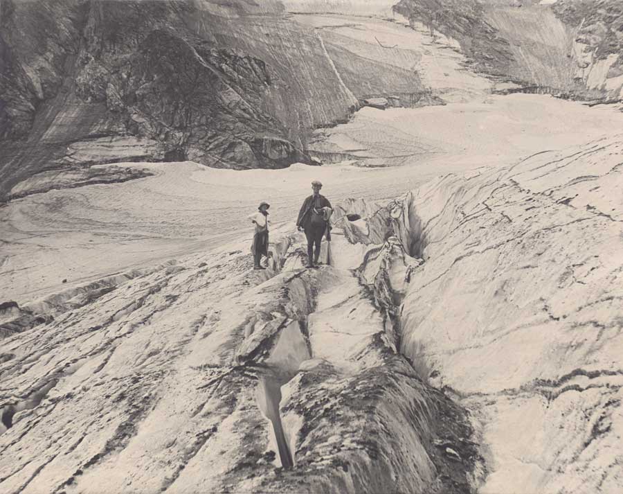 On July

Boulder Takes Steps to Secure Supply
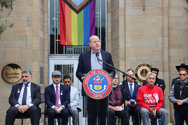
The story of Boulder’s water supply is integral to its history. Less than a year after the first gold-seekers set up camp near Boulder Creek in 1858, the first irrigation ditches were flowing across what’s now Boulder County. By the 1870s, the city realized that it would need storage in order to provide a dependable, year-round supply of water for its residents. So it built its first reservoir just south of the Red Rocks in Settlers Park, according to the city’s BASIN website.‘Boulder’s water supply-system used to consist of a glacier and sun. The sun melted the glacier into water and the water ran down the creek into the city. Citizens put in a few pipes and pumps to bring the water to them. That was all.’ — Andy Briscoe, Coordinator of Public Utilties, 1986After the discovery of what became known as Arapaho Glacier, Boulder began acquiring lands specifically to protect its water supply—long before the practice became common. In 1904, Boulder bought some private acreage along North Boulder Creek, in what has since become known as the Silver Lake Watershed. However, most of the roughly 6,500 acres that the city now owns in that watershed was purchased directly from the federal government, after the U.S. Congress deeded the land to Boulder for the express purpose of enhancing its water supply. In 1927, the third and final federal land grant, which included Arapaho Glacier and four peaks along the Continental Divide, ultimately secured the integrity of the watershed, which today provides 40 percent of Boulder’s water. Another 40 percent comes from Middle Boulder Creek via Barker Reservoir near Nederland, and the final 20 percent comes from Colorado’s Western Slope by way of the Colorado-Big Thompson diversion.
Going, Going …
The Arapaho Glacier remains an important source of water for the city, according to the BASIN website, but the vast majority of the city’s supply comes from annual snowmelt rather than the glacier itself, says Kim Hutton, a water resources engineer for the City of Boulder. This is fortunate because the warming climate poses a severe threat to the Arapaho as well as several smaller glaciers located within Boulder’s watershed, including the Arikaree Glacier, which is located about 2 miles farther north.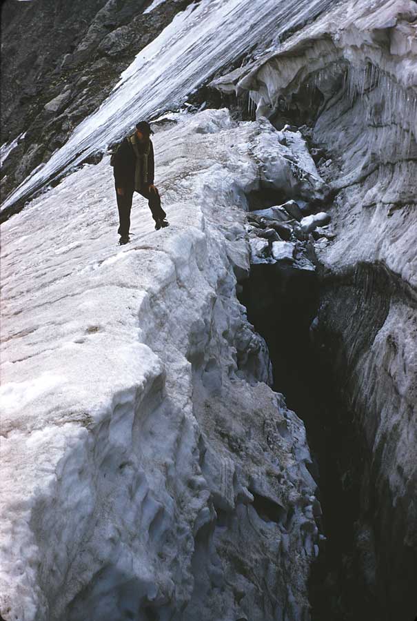
How to See the Glacier
Back in the early 1900s, many locals enjoyed the novelty of skiing, hiking and even picnicking on the Arapaho Glacier. But after a cholera outbreak, the city fenced off the area in 1920, and it has remained closed to the public ever since. Since it’s not possible to visit the watershed, the best way to see the Arapaho Glacier is either by strolling up the 0.5-mile-long trail to the top of Sugarloaf Mountain, accessed from CO 119 via Sugarloaf Road, or by hiking 6 miles (one-way) to a fantastic overlook of the glacier along the more strenuous Arapaho Glacier Trail, which is accessed from the Fourth of July Trailhead west of the town of Eldora. You can also see it from a distance east of town.Terri Cook is a Boulder-based science and travel writer whose career has focused on exploring and explaining the history of our amazing planet. She is the co-author of three books, including Geology Underfoot Along Colorado’s Front Range. Follow her adventures at @GeoTravelTerri or www.down2earthscience.com.