Cloud-Struck in Boulder
30 Dec 2017
Beautiful and unusual sky signatures
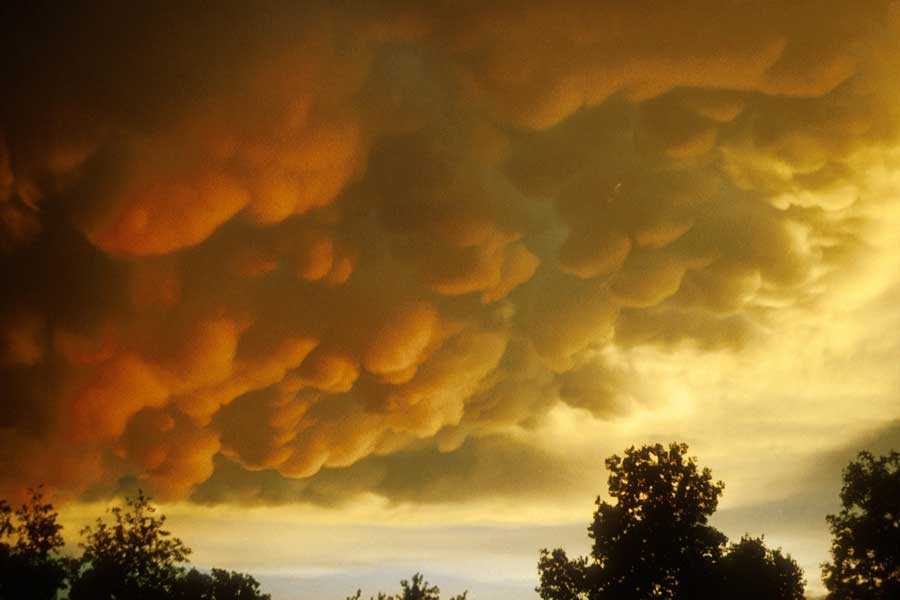
By Kay Turnbaugh Cloud watching in Boulder County can be summed up in one word: spectacular. Even the U.S. Postal Service agrees; it featured two of our more unique clouds on a 2004 sheet of postage stamps called “Cloudscapes.” One was a photo of cirrocumulus undulatus, taken in Coal Creek Canyon by weather observer Richard Keen. It shows dainty patches of small, puffy, ripply clouds arranged in patterns.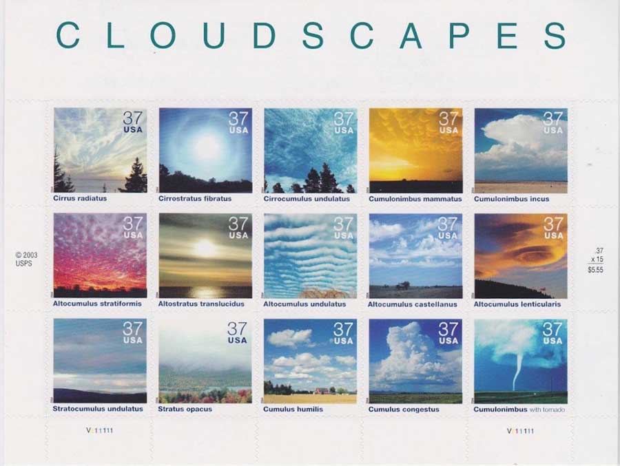
(photo © UCAR, by Carlye Calvin)
Nederland resident Kay Turnbaugh is the author of The Last of the Wild West Cowgirls, Rocky Mountain National Park Dining Room Girl and Images of America Around Nederland.