‘Ground truthing’ a super volcano at Yellowstone
03 Dec 2015
Too close for comfort?
Boulder lies more than 400 miles from Yellowstone. Would we actually be affected by such an eruption?
By Terri Cook The movie opens with a dark and wintry Colorado scene: a group of snowmobilers, bundled into fur-edged parkas, frantically racing through several feet of soft powder in the middle of a raging blizzard. The understated subtitles announce the location: Colorado, and then the date: August 9. Powder in August? In this instant, viewers of the 2005 BBC docudrama Supervolcano realize that something is terribly amiss—the falling flakes aren’t snow; they’re ash. The Yellowstone supervolcano is erupting, with clearly catastrophic results. This scene may be great for ratings, but how realistic is it? As the crow flies, Boulder lies more than 400 miles from Yellowstone. Would we actually be affected by such an eruption? The short answer, says U.S. Geological Survey (USGS) volcanologist and Boulder Councilwoman Lisa Morgan Morzel, is “most likely.”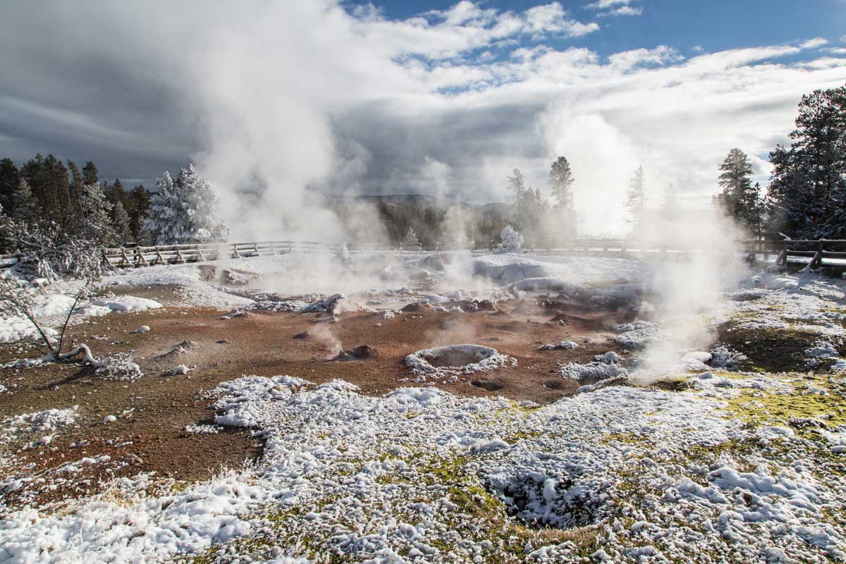
(NPS photo by Neal Herbert)
New Model Yields Answers to a Persistent Question
Could a caldera eruption happen again in Yellowstone? In Supervolcano, the chief geologist blithely tells reporters that the odds of another supereruption are 1 in 600,000—half as likely as the chance that an airplane will crash in their backyards, he jokes. In reality, Yellowstone hasn’t experienced any eruptions in the last 70,000 years, and experts at the USGS Volcano Hazards Program estimate the chances of another supereruption as 1 in 730,000—about the same odds that you’ll be struck by lightning or killed by an asteroid impact this year. But what would happen if nature defied the odds and a massive eruption did occur? From painstaking mapping, geologists know that large volumes of lava as well as pyroclastic flows—raging torrents of hot gas and rock fragments—poured from Yellowstone during past supereruptions. In addition, huge amounts of ash, blasted high into the atmosphere, drifted as far as Iowa and Louisiana before settling, like snowflakes, to the ground. But much of this ash has since been carted off by rivers or shifted by gusts of wind, so its thickness—and hence the associated hazard level—has been difficult for scientists to gauge.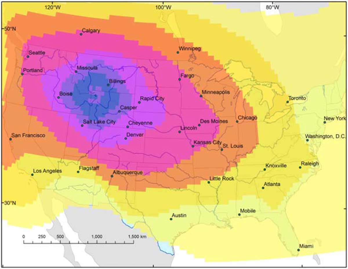
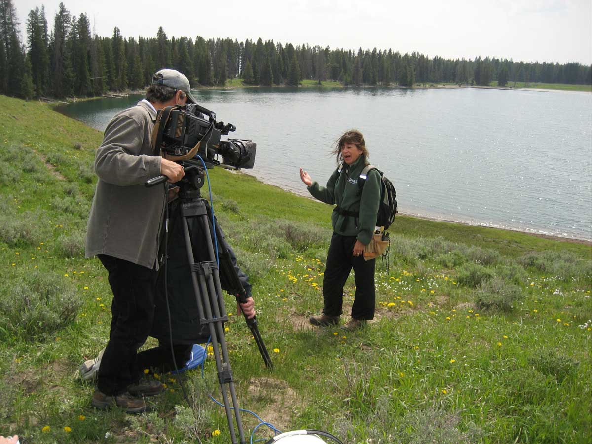
(Figure published with permission by Larry Mastin, U.S. Geological Survey)
Terri Cook is a Boulder-based science writer whose career has focused on exploring and explaining the history of our amazing planet. She is the co-author of three books, including Geology Underfoot Along Colorado’s Front Range. Follow her adventures at www.down2earthscience.com.